-40%
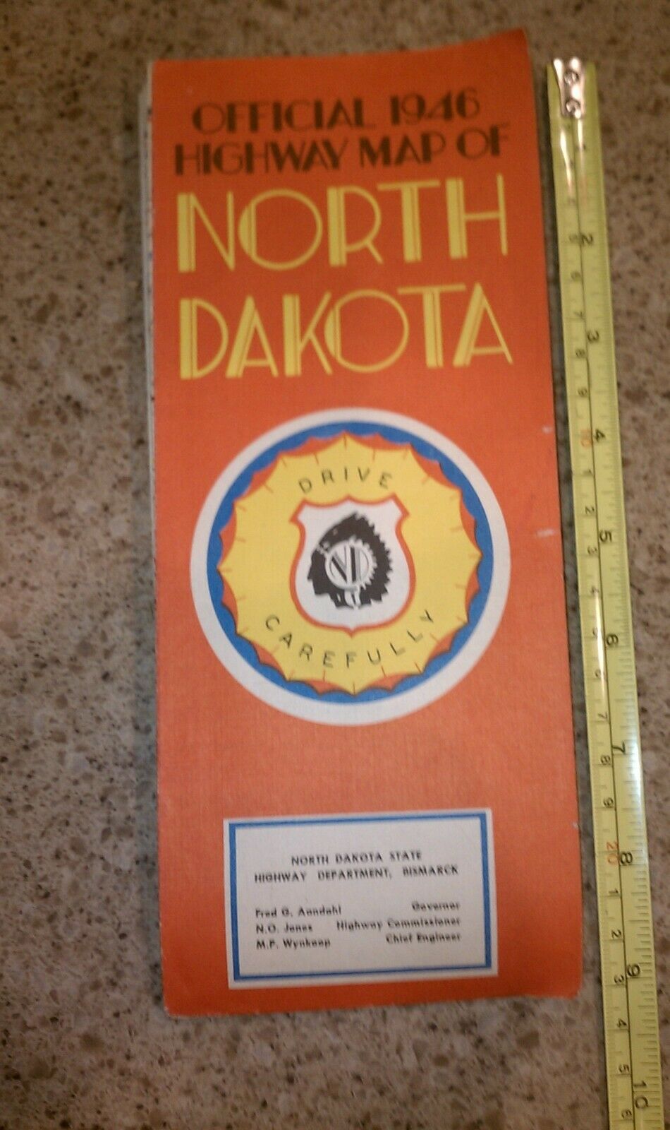
Rare Vintage Official 1946 North Dakota ND State Highway Dept. Map
$ 7.91
- Description
- Size Guide
Description
You are bidding on aRare Vintage 1946 North Dakota State Highway Department Map
issued when Fred Aandahl was Governor.
Governor Aaadahl’s “Welcome to Our State” on the Back (Pix 2) is Very Descriptive of the State in 1946.
The Map gives a great Historical view of North Dakota before the Interstate Highways, Garrison Dam, Lake Sakakawea, Lake Ashtabula, and the Oil Wells. A time when the Majority of the Population lived on Farms, Ranches, and in Small Towns.
The Back side of the Map contains 9 Pictures of North Dakota (Pix 7-12 are an example), a Map Index & Population of Cities, Towns, and Villages, a List of County Seats & Milage Chart, Information for Tourists coming to North Dakota or Entering Canada, a List of State Parts & Historical Sites, a List of ND Radio Stations
((No TV at that time), and Information on Traffic Signs & Driving.
The Map is in Very Good + Condition with some Minor Separation at the Edges of a couple of the Folds.
It Measures about 4 x 9 Inches when Folded and about 18 ½ x 30 Inches when Unfolded.
Check out the Pix and if you have any questions, please contact me.
Shipping to USA Only
PayPal Only
Payment within 48 Hours of Auction Close
No Returns Except for Misrepresentation of Item
